Aerial Drone Photography
For Solar Properties
Professional aerial imaging that showcases your solar system from angles ground photography can't capture.
Why Drones Are Essential for Solar Properties
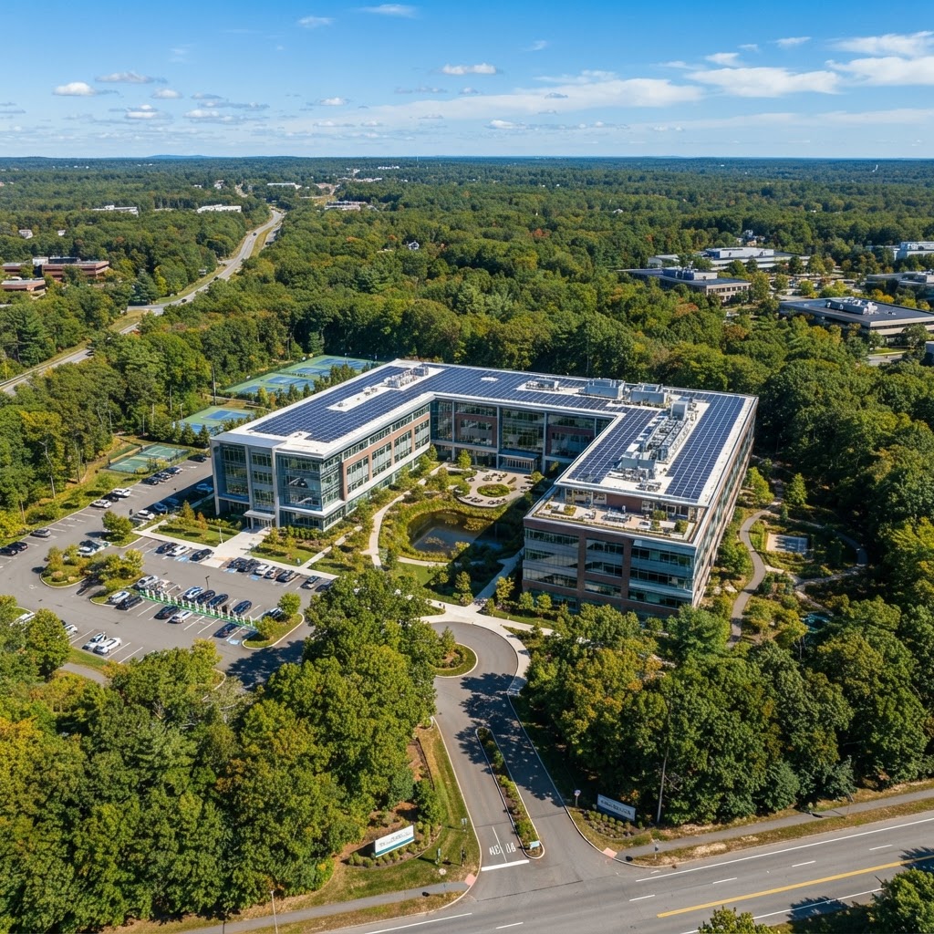
Ground-level photography can't capture solar's full scope and condition. Aerial imagery lets buyers see the complete picture:
Complete Solar Coverage
Panel count, layout, spacing, and condition-all visible in one shot.
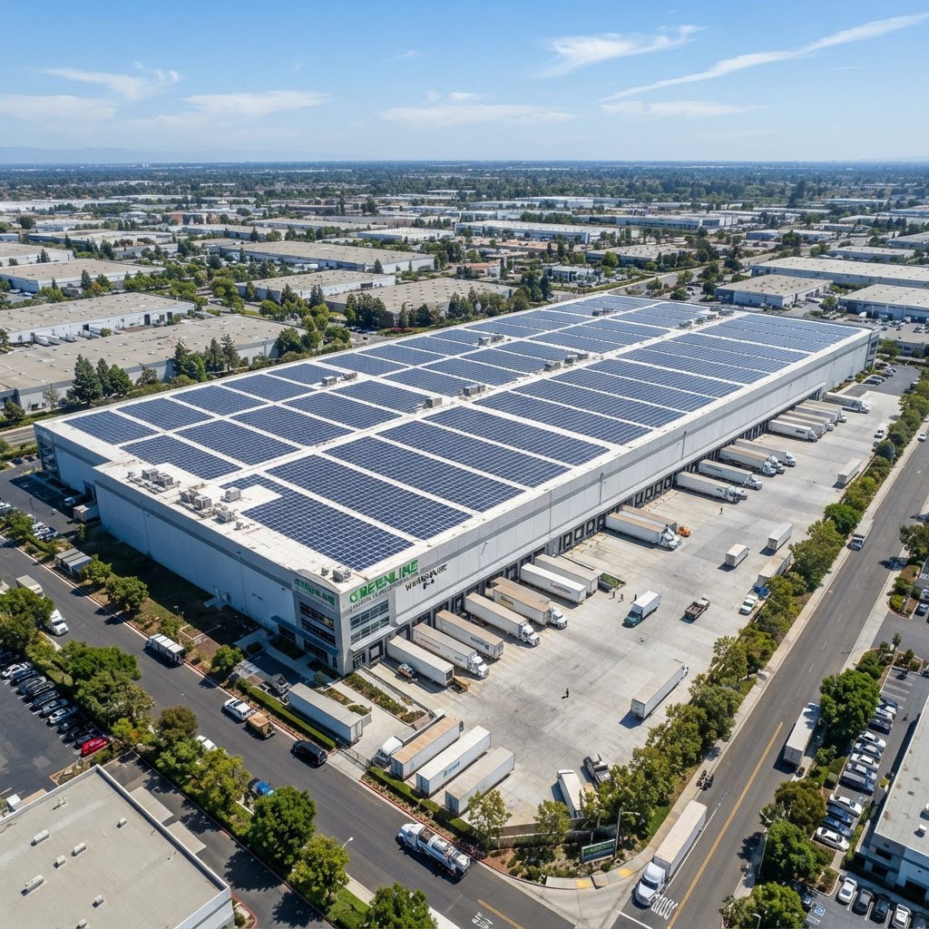
System Scale & Value
Instant visual assessment of system size and premium value.
Property Context
Solar array, roof condition, lot size, and neighborhood in one view.
Professional Appeal
Stand-out listings attract serious buyers.
What Our Drone Services Include
Professional drones and FAA-certified pilots deliver exceptional marketing materials.
High-Resolution Aerial Photography
4K and 6K cameras capture every detail from optimal angles.
Cinematic Video Tours
Smooth 4K video showcasing property and solar features.
Solar Array Documentation
Overhead shots of panel layout, condition, and coverage.
Roof Condition Assessment
Aerial inspection reveals condition and warranty status.
Property Boundary Visualization
Aerial views of property lines, lot size, and context.
Neighborhood Context
Wide shots showing location and community appeal.
The Proven Impact of Drone Photography
Industry Data Shows
According to MLS data analysis, listings featuring professional drone photography consistently outperform traditional listings across all key metrics.
Our Drone Photography Process
From initial planning to final delivery, we handle every aspect of aerial photography with precision and professionalism.
Pre-Flight Planning
We coordinate optimal timing for lighting and weather, obtain necessary flight permissions, and plan shot angles to highlight your solar installation.
On-Site Capture
Licensed drone pilots execute carefully planned flight patterns, capturing photos and video from multiple angles and altitudes for comprehensive coverage.
Professional Editing
Raw footage is professionally color-corrected, stabilized, and edited to create stunning marketing materials that showcase your property's best features.
Strategic Integration
Drone imagery is incorporated into listing photos, video tours, social media marketing, and property brochures for maximum buyer impact.
Safety, Legal Compliance & Insurance
FAA Part 107 certified operators. Comprehensive insurance. Full regulatory compliance.
- Airspace authorization
- Privacy compliance
- Safety monitoring
Ready to Showcase Your
Solar Property from Above?
Professional aerial imaging that showcases complete property value.